


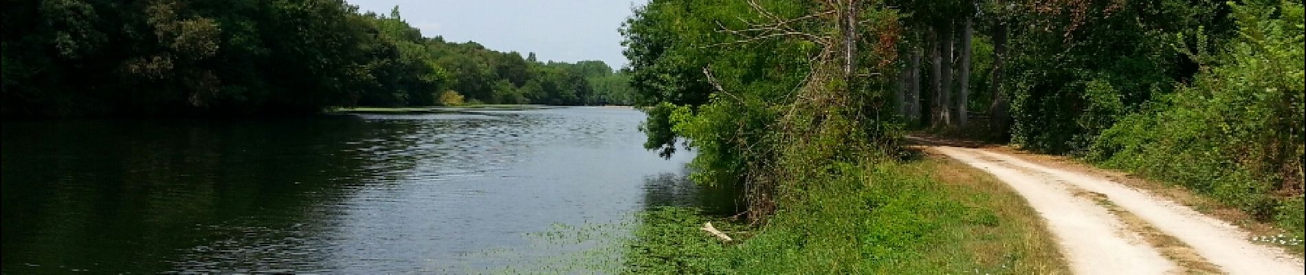
Bourré - 05 07 2015

Orcal37
User GUIDE
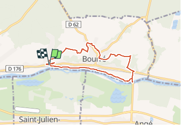

Length
7.3 km

Max alt
128 m

Uphill gradient
128 m
Km-Effort
9 km

Min alt
59 m

Downhill gradient
126 m
Boucle
Yes
Creation date :
2019-05-07 01:56:16.885
Updated on :
2021-08-30 10:30:04.056
2h00
Difficulty : Easy

FREE GPS app for hiking
 SityTrail
IGN / Geographical institutes
SityTrail Plus
The world is yours!
About
Trail Walking of 7.3 km to be discovered at Centre-Loire Valley, Loir-et-Cher, Montrichard Val de Cher. This trail is proposed by Orcal37.
Description
Boucle sur Bourré le 05 07 2015
Photos


Positioning
Country:
France
Region :
Centre-Loire Valley
Department/Province :
Loir-et-Cher
Municipality :
Montrichard Val de Cher
Location:
Unknown
Start:(Dec)
Start:(UTM)
364879 ; 5245134 (31T) N.
Comments